"The changes are dramatically documented in a series of images from the Moderate Resolution Imaging Spectroradiometer (MODIS) on NASA's Terra satellite.
By 2000, when this sequence of satellite photos begins, a large portion of the sea had already been drained.
Instead of a single large body of water, there were now two smaller ones: the Northern and Southern Aral Seas.
The Southern Aral Sea shrunk further into two lobes connected by narrow channels at the top and bottom.
In ensuing years, the lobes get smaller and smaller.
A drought from 2005 to 2009 accelerated the changes, NASA says.
Also in 2005, Kazakhstan completed a dam project aimed at shoring up water supplies in the Northern Aral Sea at the expense of the southern portion.
The most recent photo, from August 2014, shows just a thin sliver of water remaining on its western edge."

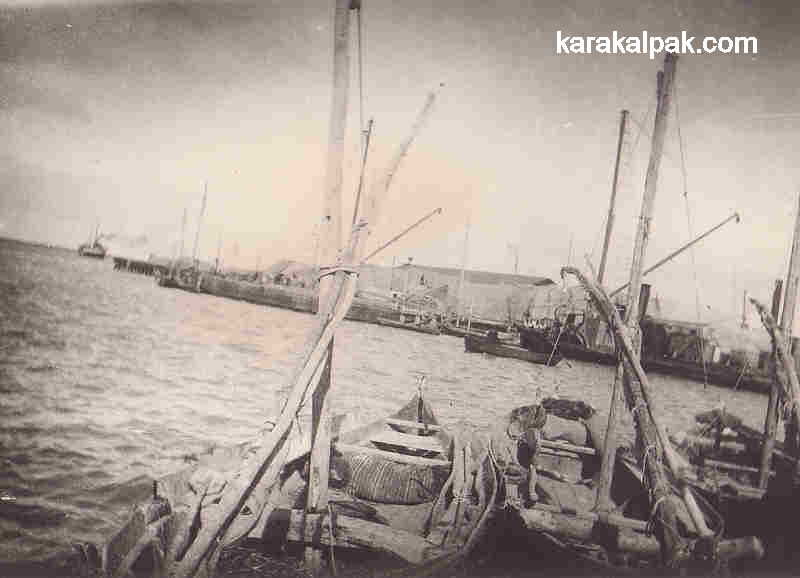
Aral Sea harbour in 1950

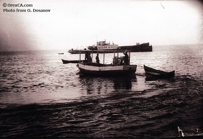



By 2000, when this sequence of satellite photos begins, a large portion of the sea had already been drained.
Instead of a single large body of water, there were now two smaller ones: the Northern and Southern Aral Seas.
The Southern Aral Sea shrunk further into two lobes connected by narrow channels at the top and bottom.
In ensuing years, the lobes get smaller and smaller.
A drought from 2005 to 2009 accelerated the changes, NASA says.
Also in 2005, Kazakhstan completed a dam project aimed at shoring up water supplies in the Northern Aral Sea at the expense of the southern portion.
The most recent photo, from August 2014, shows just a thin sliver of water remaining on its western edge."

Images show the giant lake from 2000 until 2014 - where it dries up completely for the first time
In the 1960s, the Soviet Union undertook a major water diversion project on the arid plains of Kazakhstan, Uzbekistan, and Turkmenistan.
The region’s two major rivers, fed by snowmelt and precipitation in faraway mountains, were used to transform the desert into farms for cotton and other crops. Before the project, the Syr Darya and the Amu Darya rivers flowed down from the mountains, cut northwest through the Kyzylkum Desert, and finally pooled together in the lowest part of the basin. The lake they made, the Aral Sea, was once the fourth largest in the world.
Although irrigation made the desert bloom, it devastated the Aral Sea. This series of images from the Moderate Resolution Imaging Spectroradiometer(MODIS) on NASA’s Terra satellite documents the changes.
At the start of the series in 2000, the lake was already a fraction of its 1960 extent (black line). The Northern Aral Sea (sometimes called the Small Aral Sea) had separated from the Southern (Large) Aral Sea. The Southern Aral Sea had split into eastern and western lobes that remained tenuously connected at both ends. By 2001, the southern connection had been severed, and the shallower eastern part retreated rapidly over the next several years. Especially large retreats in the eastern lobe of the Southern Sea appear to have occurred between 2005 and 2009, when drought limited and then cut off the flow of the Amu Darya.
Water levels then fluctuated annually between 2009 and 2014 in alternately dry and wet years. Dry conditions in 2014 caused the Southern Sea’s eastern lobe to completely dry up for the first time in modern times.
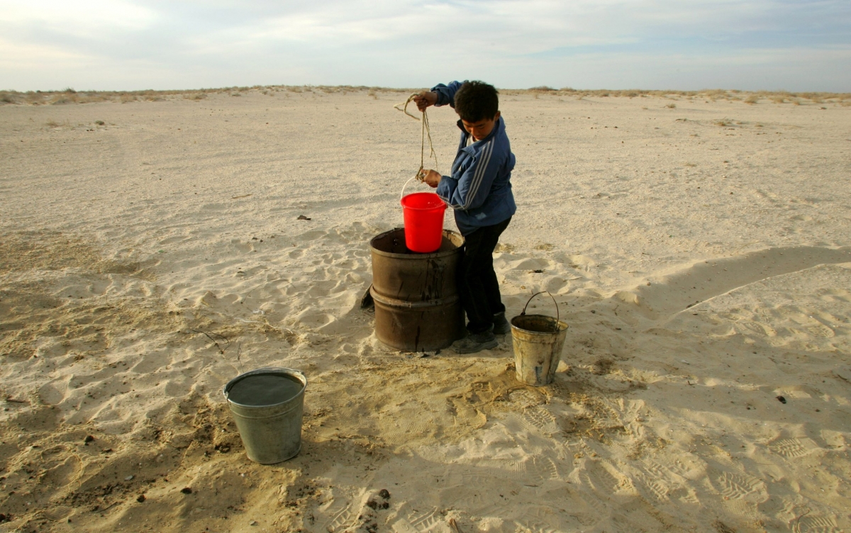
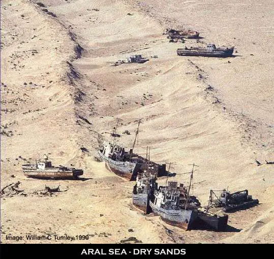
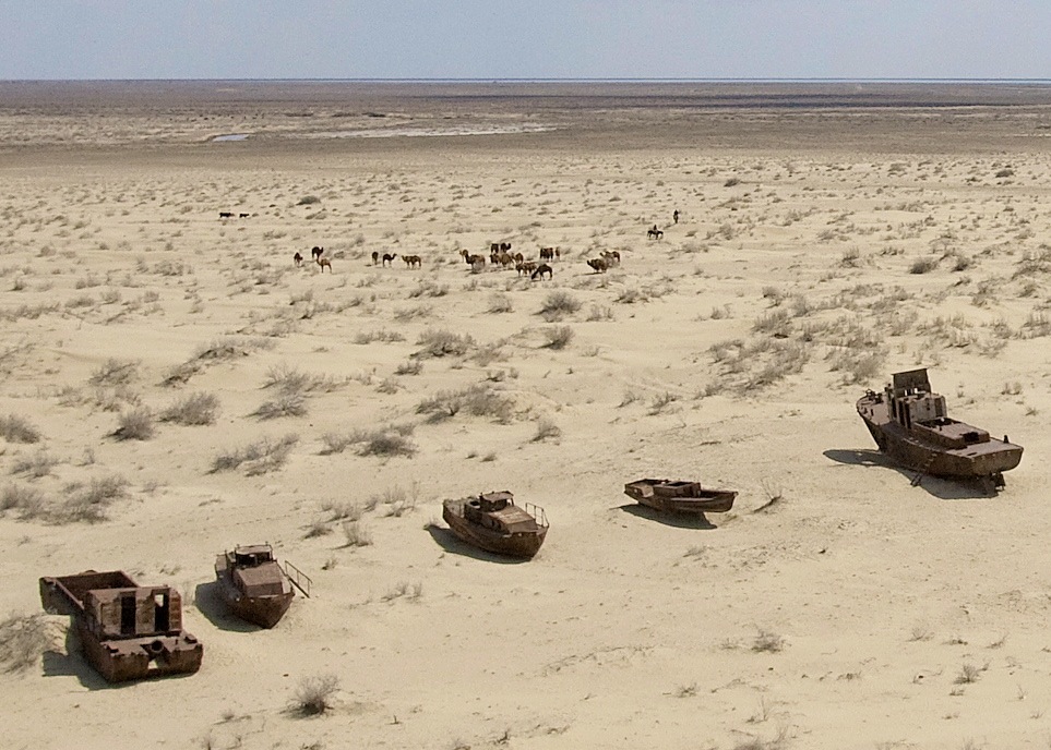
As the lake dried up, fisheries and the communities that depended on them collapsed. The increasingly salty water became polluted with fertilizer and pesticides. The blowing dust from the exposed lakebed, contaminated with agricultural chemicals, became a public health hazard. According to NASA, the loss of the water's moderating influence has also led to more extreme temperatures in the region, making winters colder and summers hotter and drier.
The salty dust blew off the lakebed and settled onto fields, degrading the soil. Croplands had to be flushed with larger and larger volumes of river water. The loss of the moderating influence of such a large body of water made winters colder and summers hotter and drier. In a last-ditch effort to save some of the lake, Kazakhstan built a dam between the northern and southern parts of the Aral Sea. Completed in 2005, the dam was basically a death sentence for the southern Aral Sea, which was judged to be beyond saving. All of the water flowing into the desert basin from the Syr Darya now stays in the Northern Aral Sea. Between 2005 and 2006, the water levels in that part of the lake rebounded significantly and very small increases are visible throughout the rest of the time period. The differences in water color are due to changes in sediment.

Aral Sea harbour in 1950


Comment