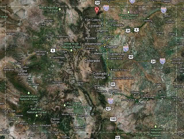
Grey Rock is about 25 miles NW of Fort Collins. Summit loop up, Meadows loop down, 7.5 miles and 2515 ft total roundtrip elevation gain (1883' net).
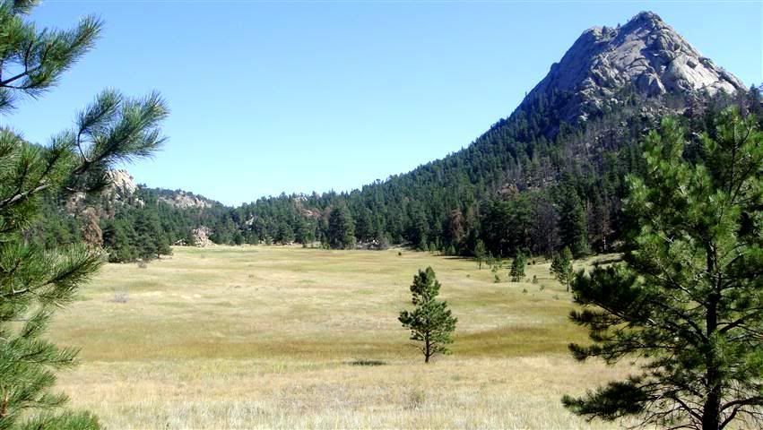
You start down low on the north side of the Poudre river, snake through some valleys and heavy pines before it opens up and then battle some good steep stuff, boulders, etc near the peak. The trip down the other way takes you through the Grey Rock Meadow and eventually back to the river.
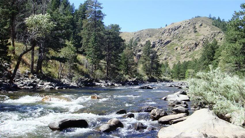
Sunrise start at the Poudre River.
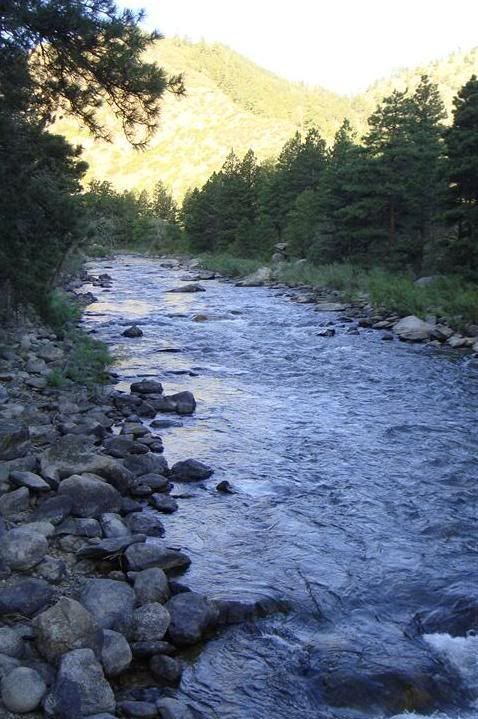
Sun still trying to creep down into the valleys
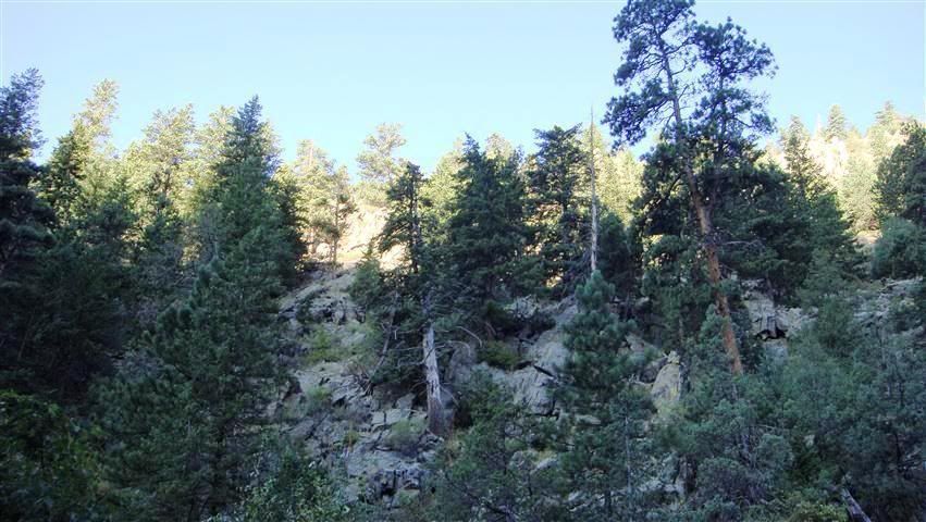
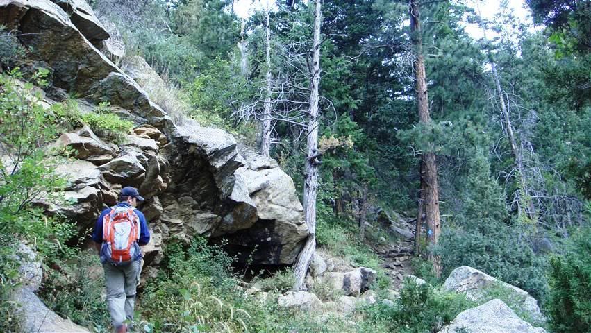
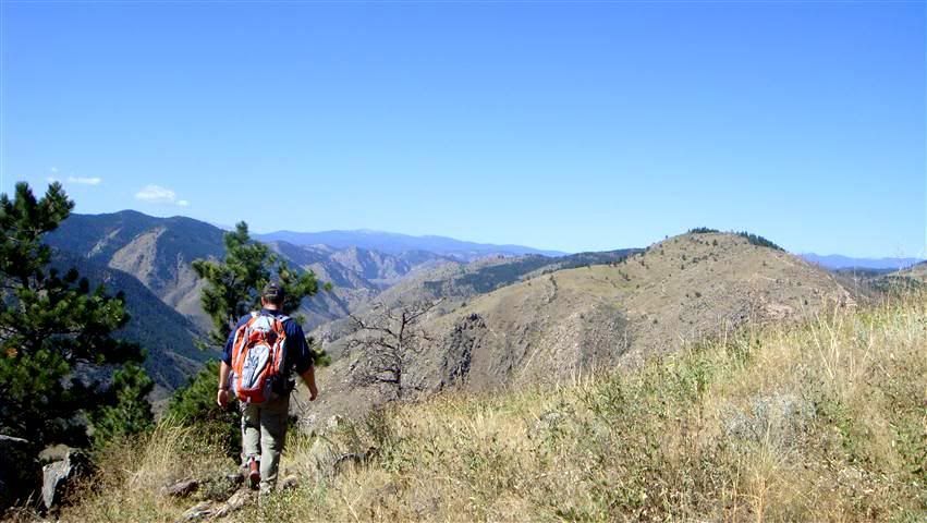
Finally opening up and allowing a view of where we were headed.
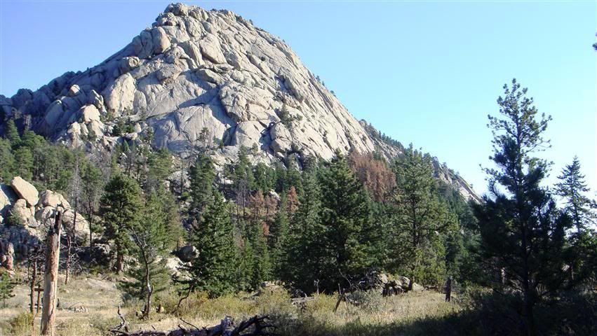
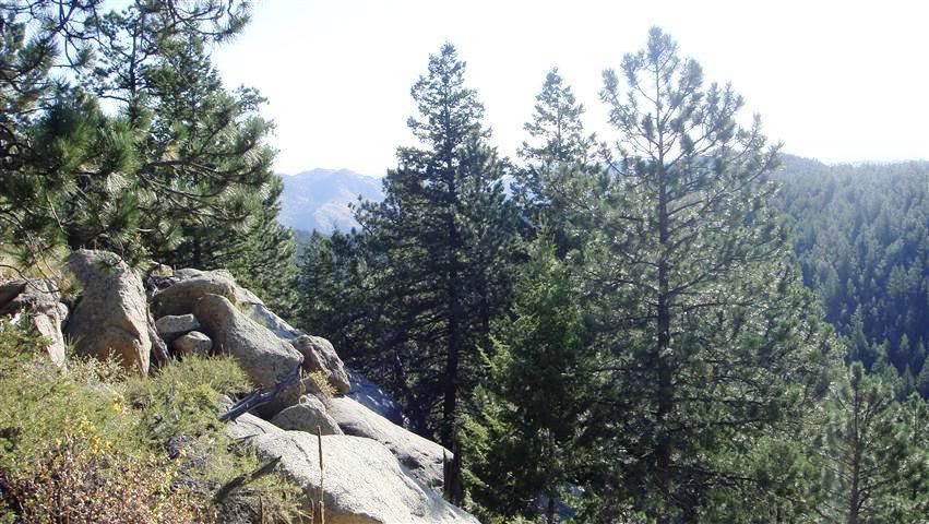
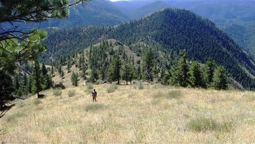
Finally getting up to the top. There's a nice pond just below the summit.
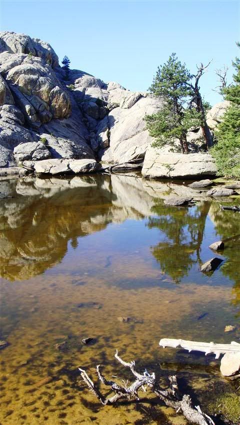
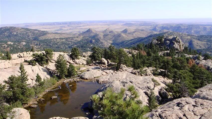
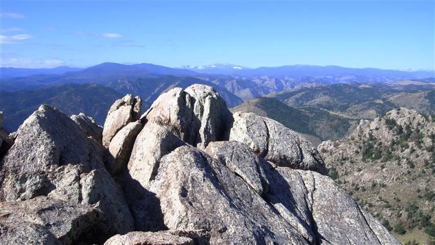
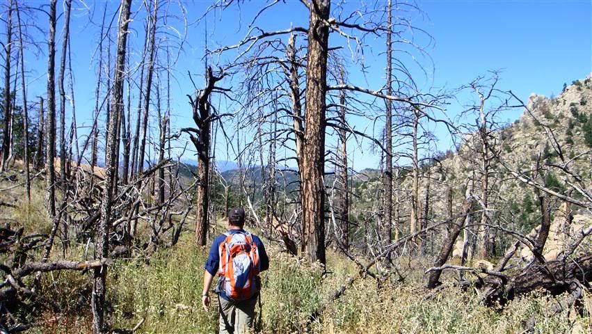
Then headed back down through the meadow, through some of the damage done by the Picnic Rock fire in '04, etc.
You start down low on the north side of the Poudre river, snake through some valleys and heavy pines before it opens up and then battle some good steep stuff, boulders, etc near the peak. The trip down the other way takes you through the Grey Rock Meadow and eventually back to the river.
Sunrise start at the Poudre River.

Sun still trying to creep down into the valleys


Finally opening up and allowing a view of where we were headed.


Finally getting up to the top. There's a nice pond just below the summit.


Then headed back down through the meadow, through some of the damage done by the Picnic Rock fire in '04, etc.

Comment